| 
Crab Ridge. Photo by Rick Baugher
|
Bear River Range
The Bear River Range is surrounded by the drainage of Bear River, and as such, it's Idaho's highest mountain range wholly within the confines of the Great Basin. Range highpoint is Mt Naomi el 9979', centerpiece of the Mount Naomi Wilderness in Utah. The forested mountains on the Idaho side, while more subdued, offer the visitor a quality four season outdoor experience. There are just enough trailless summits to make it interesting. Here's a snapshot of some Idaho Bear River peaks.
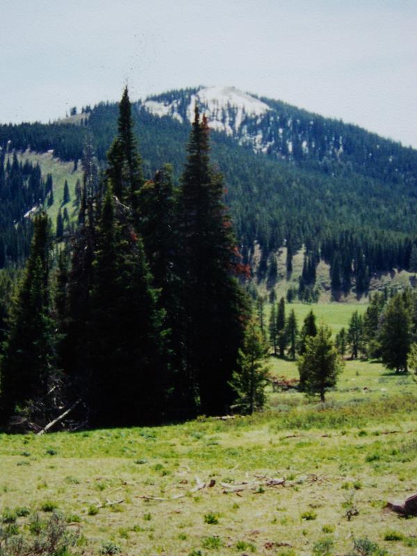
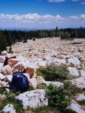
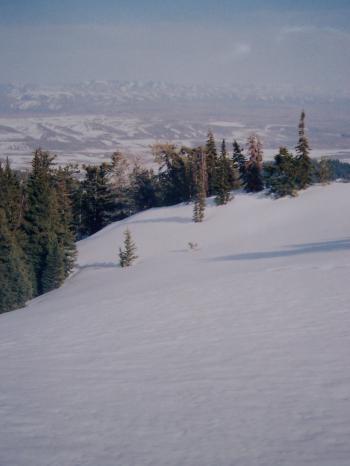
Along the Idaho-Utah line the Bear River Range is split into three north-south ridges. The highpoint of the 10 mile long middle one, Crab Ridge, is this somewhat nebulous 9237' summit. View SE on 6/21/04 showing the summit boulder field. 'Crab Nebula' is one of Idaho's southernmost summits, located just over a mile from the Utah line.
|
| 
PIC Peak' el 9283'. Photo by Rick Baugher.
|
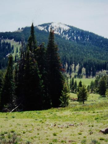
'PIC Peak' el 9283' is a tree covered summit that rises NW from Paris Ice Cave (acronym PIC). This view from Green Basin looks SW to the peak on 5/30/01. Throughout much of central and southern Idaho Douglas Fir is the dominant conifer at low to mid elevations. In the Great Basin spruce and alpine fir occupy this niche, as seen in this photo.
|
| 
The summit of Midnight Mountain el 9328'. Photo Rick Baugher.
|
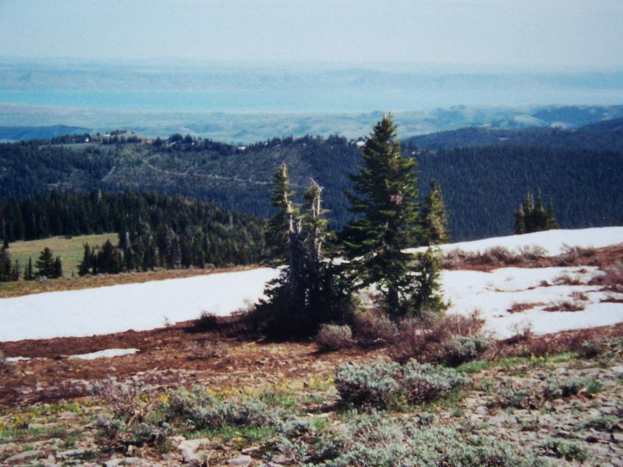
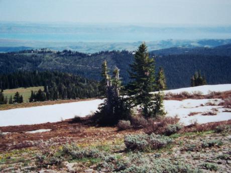
The summit of Midnight Mountain el 9328' had some surprises. Countering today's trend, the radio tower had been completely removed, and an 8' high stone cairn graced the summit. From here the distant multi-directional views are impressive. Looking SE on 5/30/01, Bear Lake is showing one of its ever changing shades of blue-green.
|
| 
Emigration Summit el 7413'. Photo Rick Baugher.
|
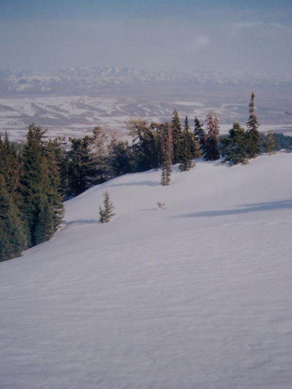
Idaho Highway 36 crosses the Bear River Range at Emigration Summit el 7413'. From Emigration Campground, just below the east side of this pass, follow the draw north then west to Emigration Peak el 8594'. Good views in all directions. Here we're looking east to Wyoming on 4/13/05.
|
| 
Glacier Lily. Photo Rick Baugher.
|
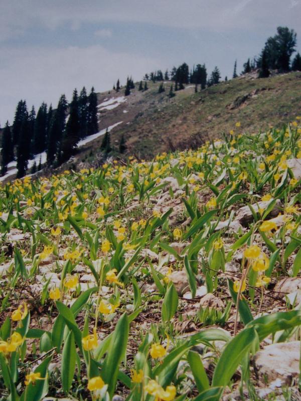
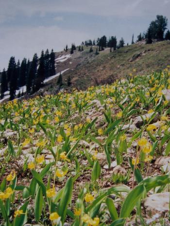
On 6/21/05 I drove up North Canyon until blocked by snowdrifts. These drifts were now only 2' deep, down from 8' in April. This pleasant hike went up a south facing gully to gain this rocky/blocky ridge crowned with Glacier Lily in full bloom. Placed a cairn, left note on North Canyon Summit el 8939'.
|
| 
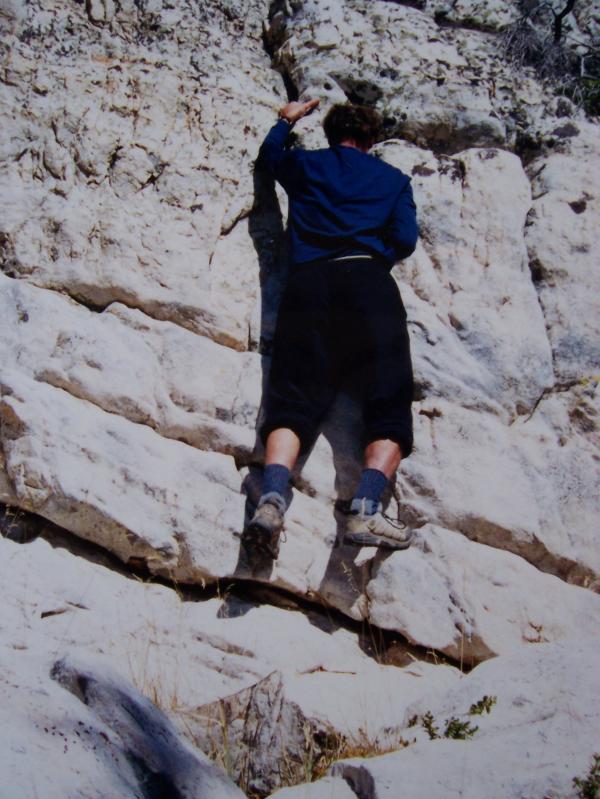
Photo Rick Baugher.
|
OK, so it's not Logan Canyon, but at least this sporting pitch on alabaster limestone made the hike more interesting. This is near the top of 9195' west summit
Saint Charles Mountain, 10/6/01.
Thanks for 'bearing' with me,
|